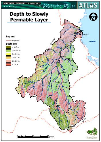
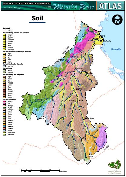
The complexity of landforms, climate, and rock types in the Motueka
Catchment results in a wide variety of soils, which can be grouped into
six broad classes:
- Soils of the floodplains and low terraces are formed from recent
river alluvium and are mainly Recent and Gley soils, with Saline Gley
Recent soils near the coast.
- Soils of the intermediate and high terraces are formed from older
alluvium and are mainly well drained Brown soils with low fertility.
- Soils of the coastal sands are formed in a small area of beach sands
and gravels near the coast.
- Soils of the fans are formed from older alluvium or till and have a
restricted extent. They are well drained Brown soils with low
fertility.
- Soils of the rolling and hilly lands. Hilly soils comprise a wide
variety of soils distinguished according to climate and parent
material. Most are classified as Brown soils with some Podzols, Ultic
and Melanic soils. Fertility is generally low on the Moutere gravels
and granite, and higher on sedimentary and basic igneous rocks. Soils
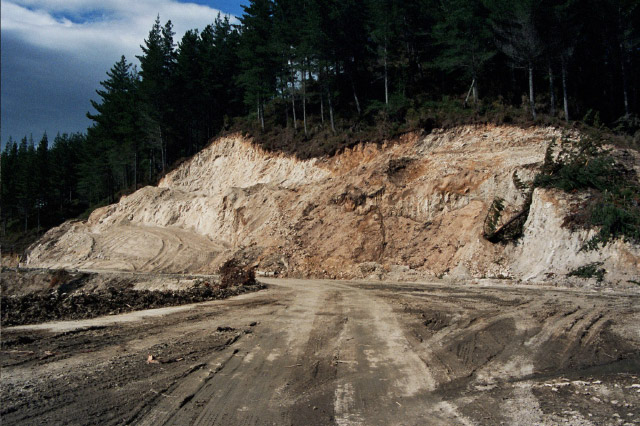
of this group are well drained. The soils formed on Moutere gravel are
prone to sheet and gully erosion when cleared, and the soils formed on
weathered granite are prone to erosion when disturbed, and can release
large quantities of sand into streams.
- Soils of the steeplands. Steepland soils also comprise a wide
variety of soils distinguished according to climate, parent material
and elevation. Most are classified as Brown soils, with significant
areas of Podzols and Melanic soils. Fertility is generally low on
greywacke, schist, argillite, quartzite, and acidic igneous rocks
(granite, diorite, granodiorite) and higher on calcareous sedimentary
rocks and basic igneous rocks. These soils are dominantly well
drained. The soils from ultramafic rocks contain some trace elements
toxic to plant health so rock exposures and screes are common.
|
|