Location map
|
| Location of the Motueka catchment (shaded in yellow) at the top of South
Island, New Zealand. |
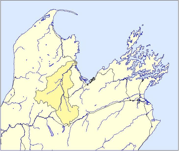 |
| An alternative location map (Note: 2 MB tiff file). |
|
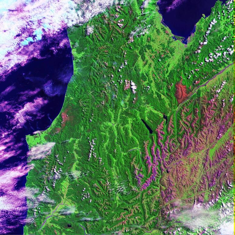
Satellite map
|
A satellite image of the upper part of the South Island showing
Tasman Bay and the Motueka catchment (pdf). |
|
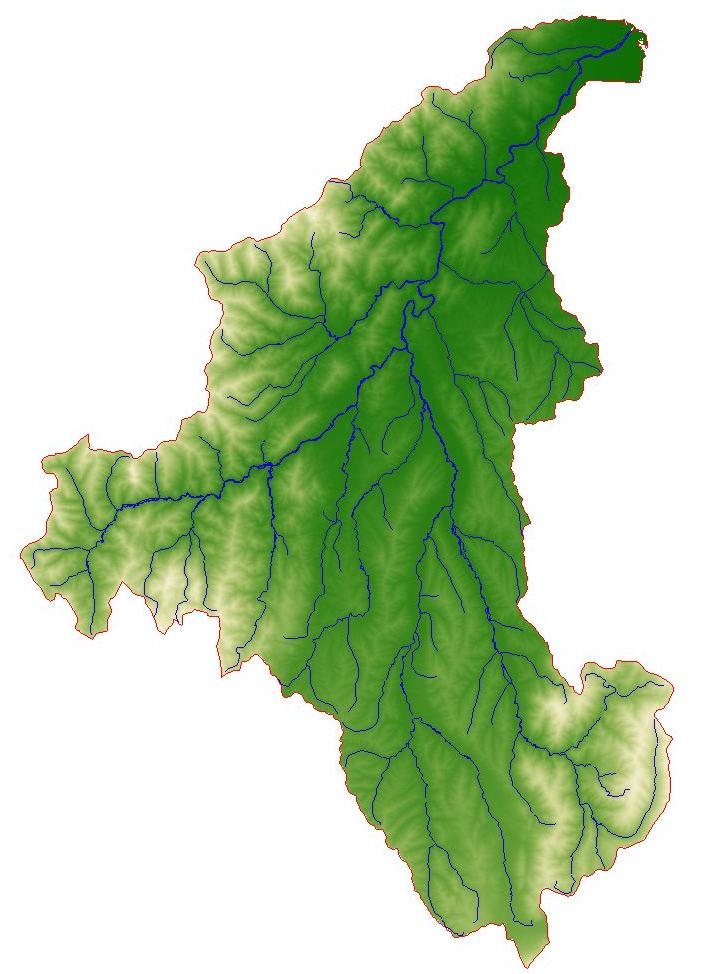
Digital terrain map
|
A digital elevation model of the catchment and the main rivers
and tributaries. |
 |
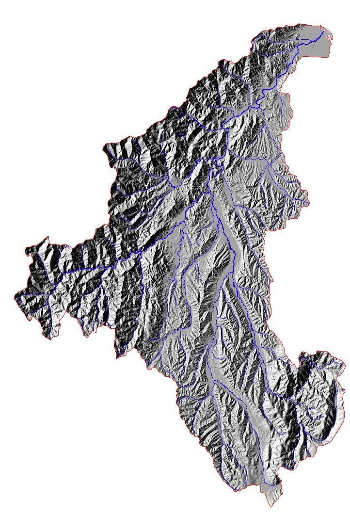
Shade map
|
| A haded relief map derived from the digital terrain model together with
major rivers in blue. |
 |