 Atlas
Atlas
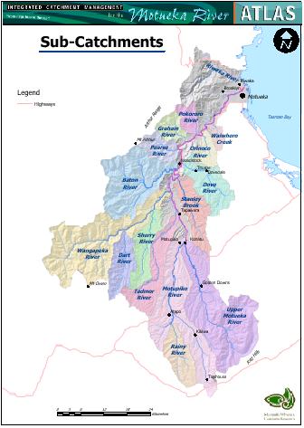
The ICM Motueka atlas contains full-color maps about the Motueka catchment, information about the maps and some photographs.
Extra resources, such as website links, photos, and factsheets will be added in 2005.
Feel free to wander around and download maps and images.
If you intend to use any map for a report, paper or some other purpose please acknowledge the author of the information if there is one listed or James Barringer. Otherwise acknowledgement should be directed to the ICM for the Motueka River Catchment url (https://icm.landcareresearch.co.nz).
If there are any maps that you would like displayed please contact Chris
Phillips
Email![]() or James
Barringer
Email
or James
Barringer
Email![]() and we will endeavour to make them available.
and we will endeavour to make them available.
Each map can be downloaded as a print quality A4 map (pdf) by clicking the displayed map.
Note that Adobe Acrobat Reader® is required to view the PDF maps. Visit the Adobe Acrobat Download page to obtain this product for free (see below).
Obtaining Adobe Acrobat Reader
Adobe Acrobat Reader is required to view the detailed PDF maps.
For a free copy click the icon to the right and![]() follow the download instructions. An Internet connection is necessary to access this page.
follow the download instructions. An Internet connection is necessary to access this page.
Photos & other resources
Downloadable images of our research and the Motueka River catchment. (More will be added in 2005)